
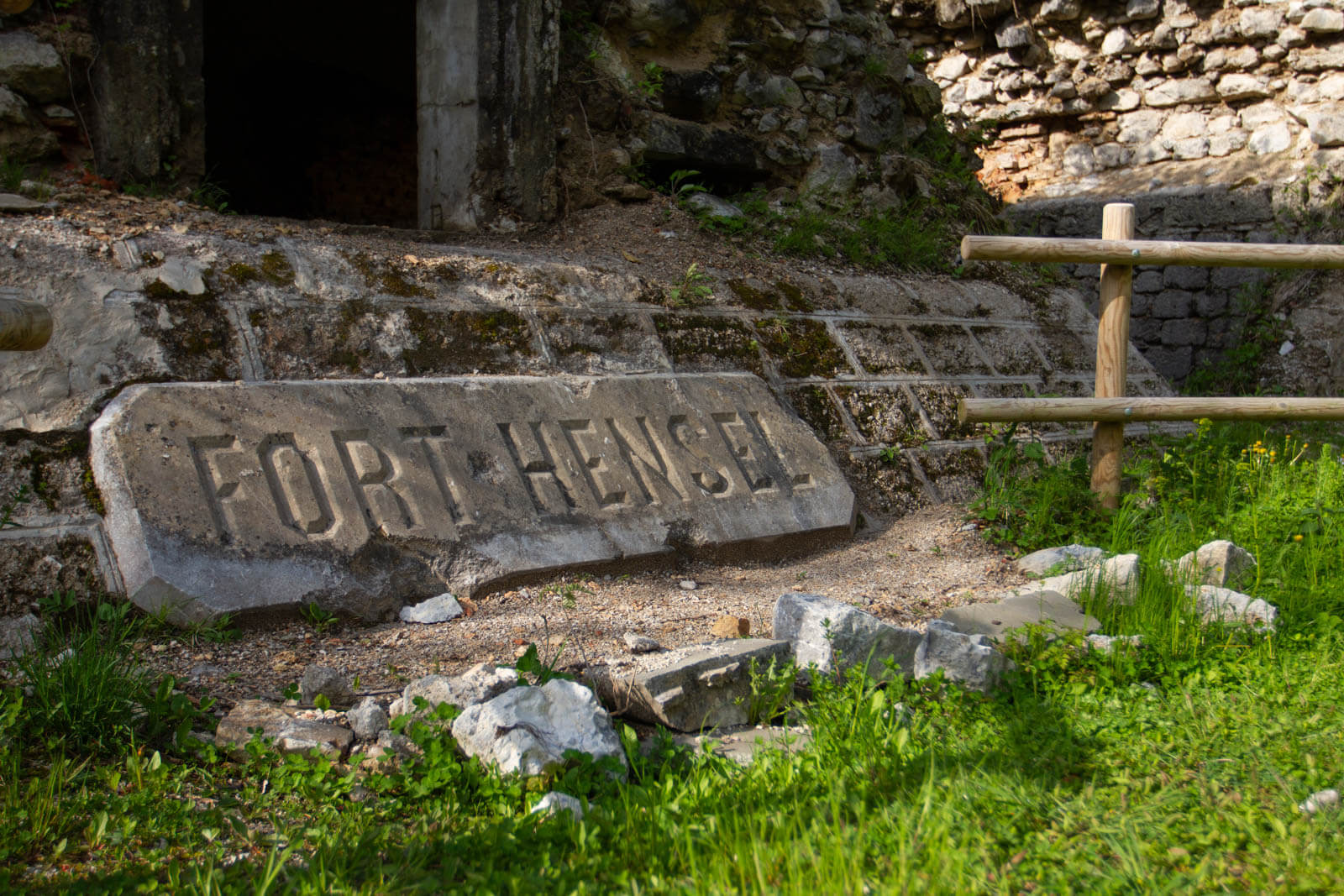
There is a moment, as you climb towards Fort Hensel, when the valley opens up below you and you understand why someone decided to build a fort here. Valcanale narrows into a natural corridor between the mountains, a compulsory passage between the Italian Alpine world and Central Europe.
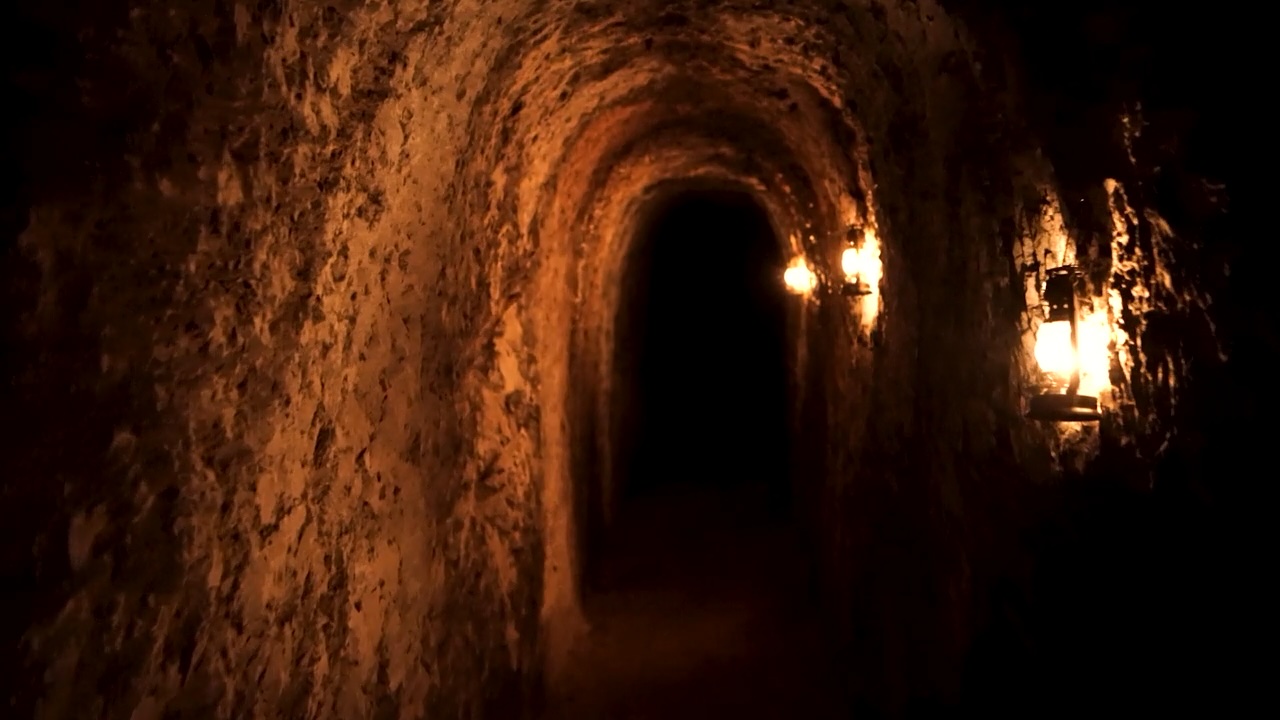
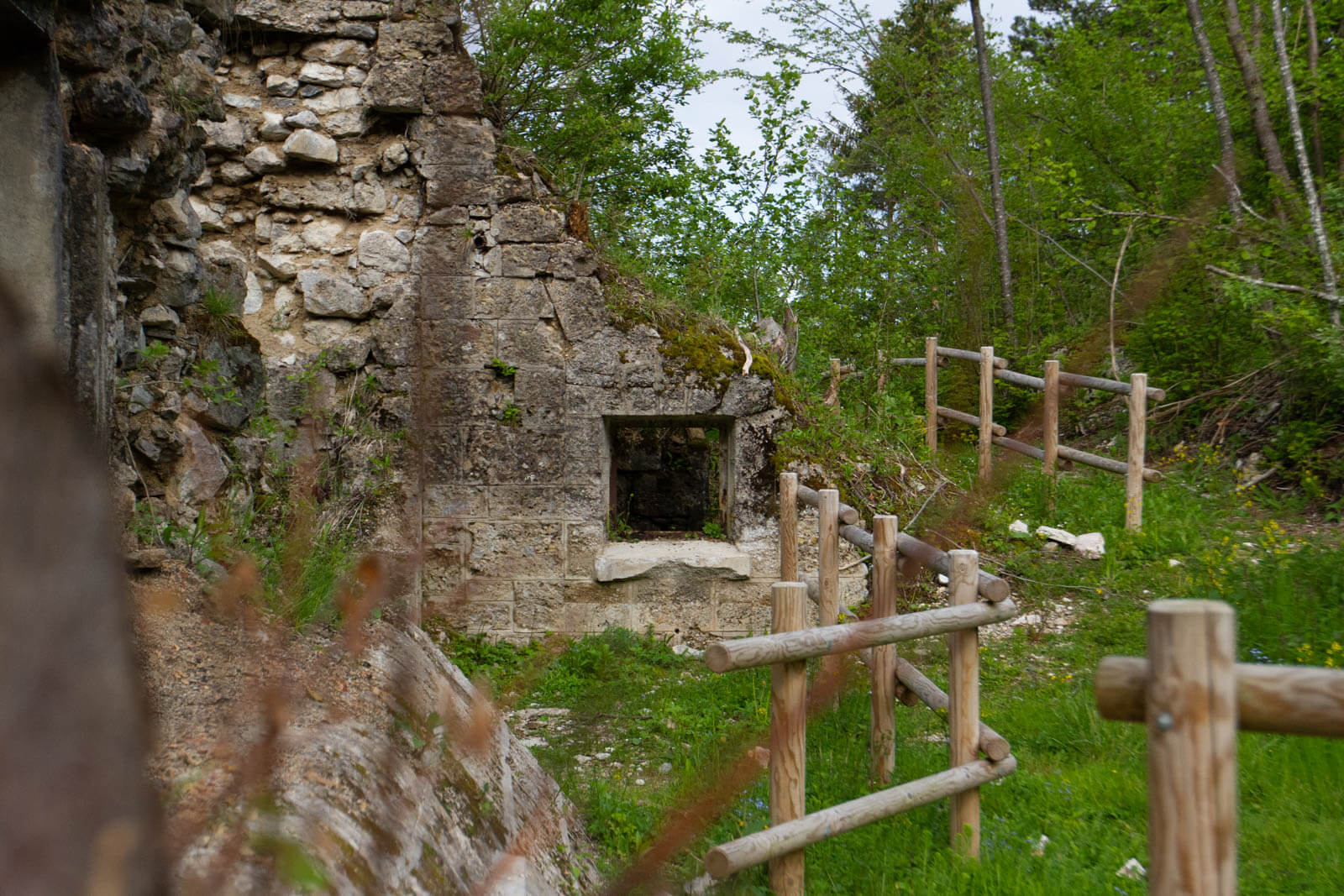
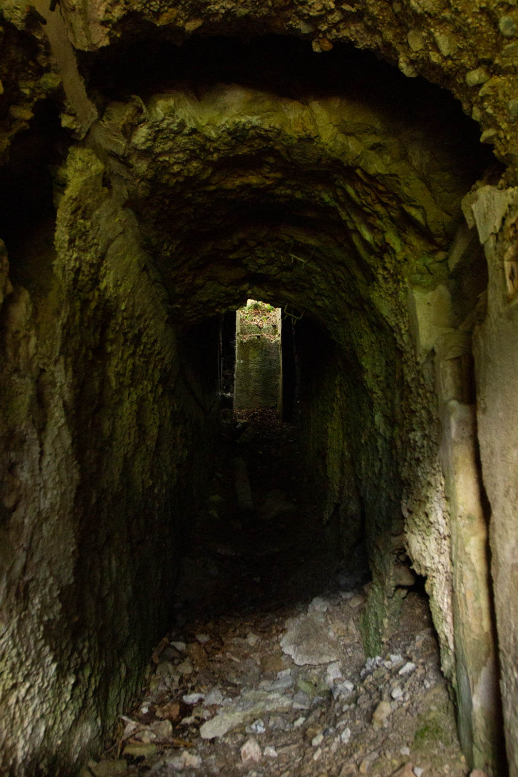
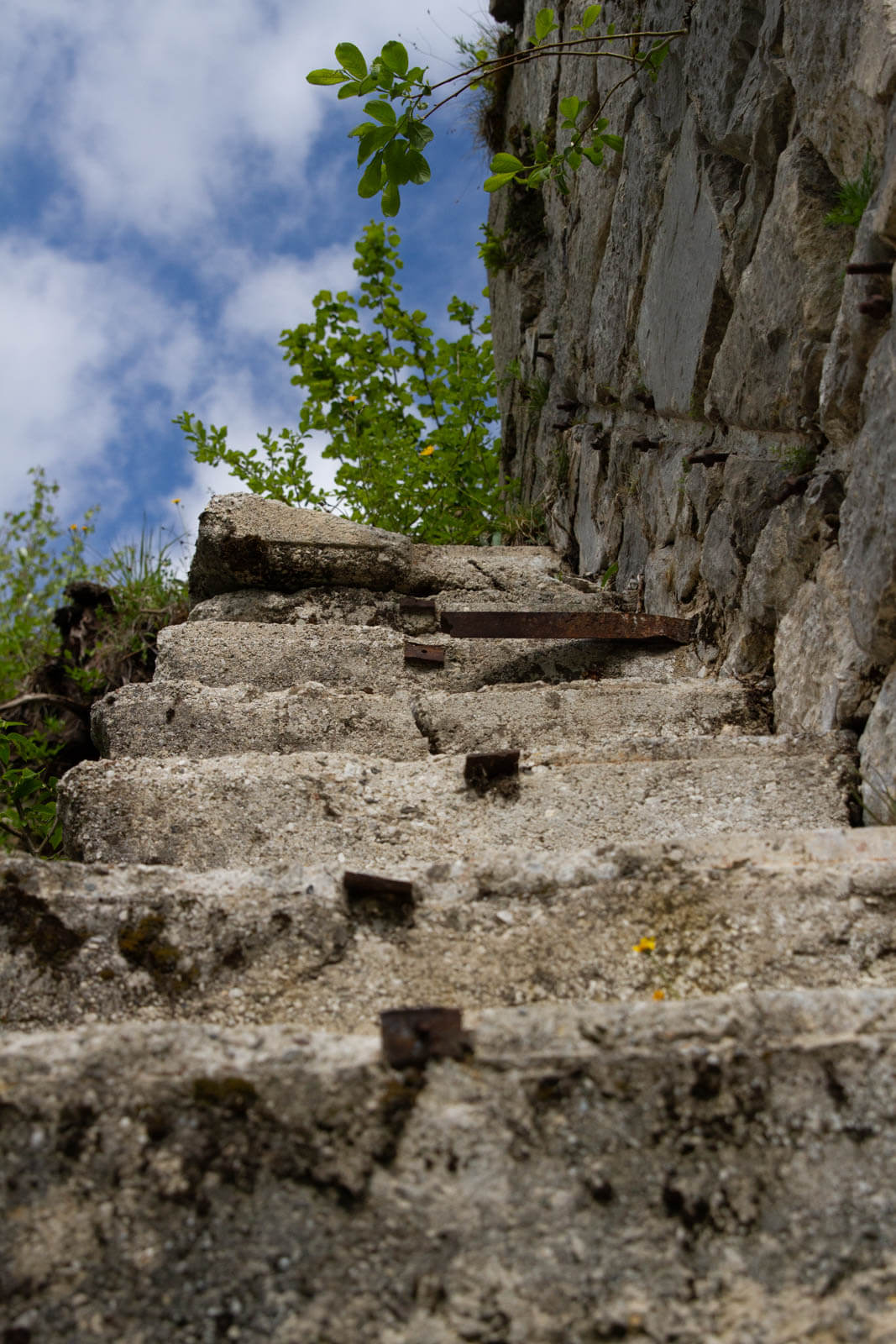
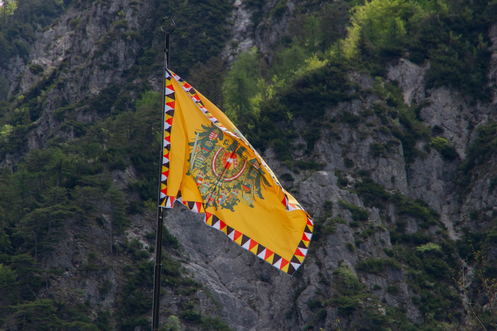
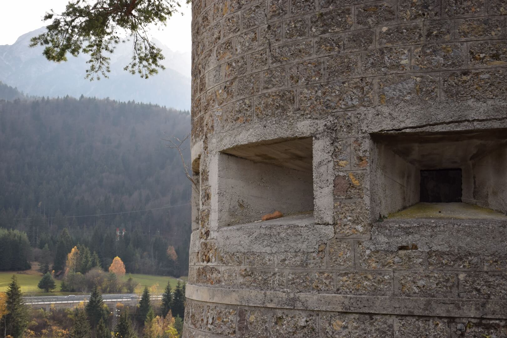
Fort Hensel was born as an Austro-Hungarian barrier in the Napoleonic era, when Valcanale was a sensitive frontier and every strategic height was worth as much as an army. During the nineteenth century the fort was expanded and strengthened, becoming part of the defensive system that protected the Habsburg Empire from its southern borders. Today what remains is a fascinating ensemble of stone structures, walkways and positions that the forest has slowly reclaimed, without completely erasing the traces of what it once was.
The MACA route accompanies visitors among the remains of the fort with a height difference of about 60 metres - simple, well marked and safely accessible for adults and young people. The top of the promontory offers a view over Valcanale that alone is worth the climb.
With the MACA app, the ruins gain a story: the guided stops explain the military function of the fort, the historical events linked to Valcanale and the architectural details that would otherwise go unnoticed.
The path is clearly marked: leaving the route or entering the structures is forbidden.
Download the MACA app and climb to the top.