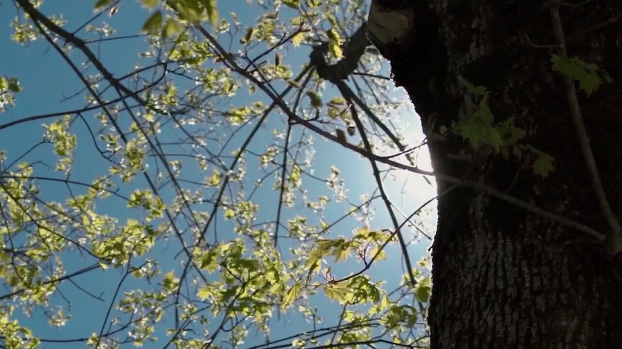

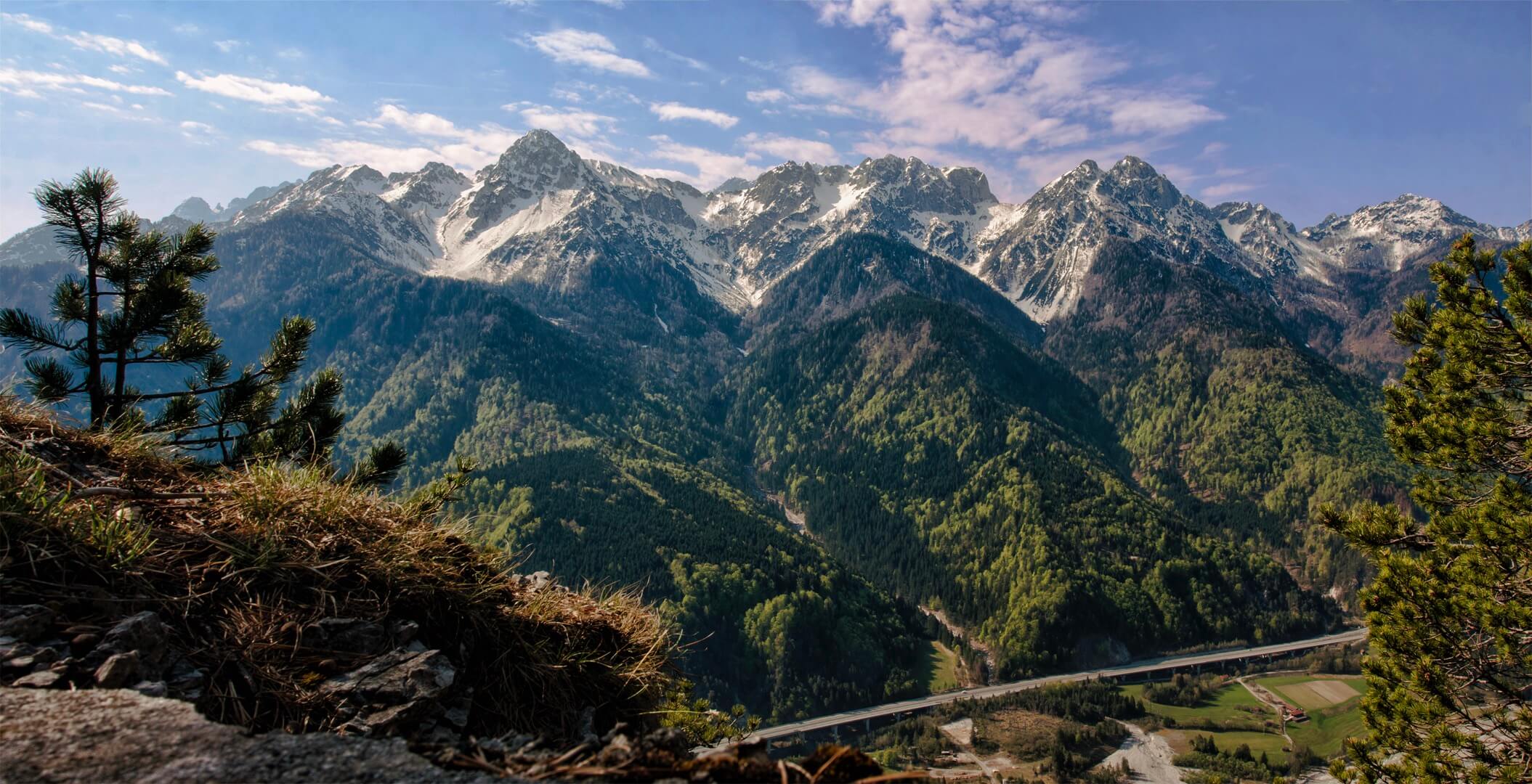
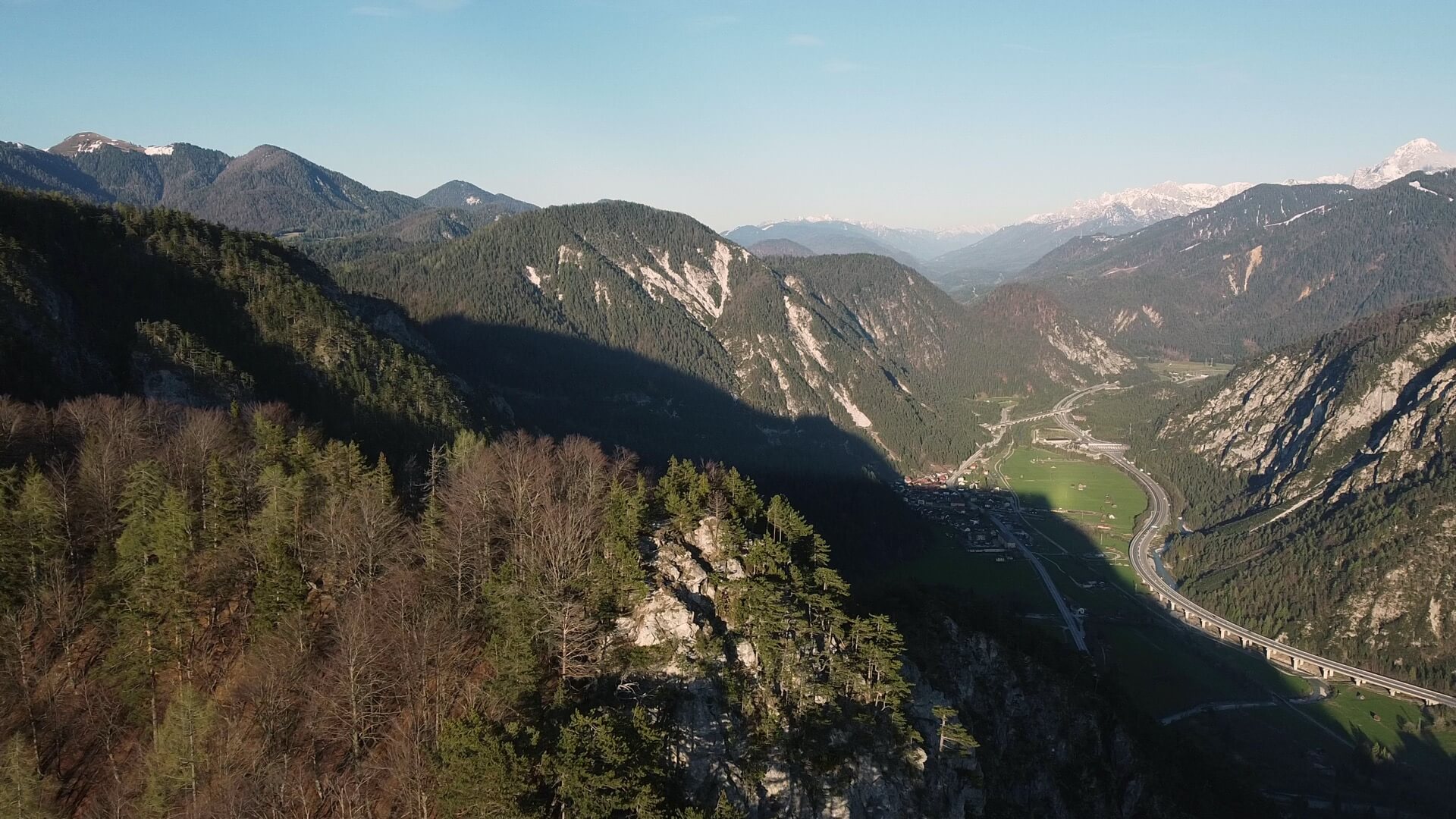
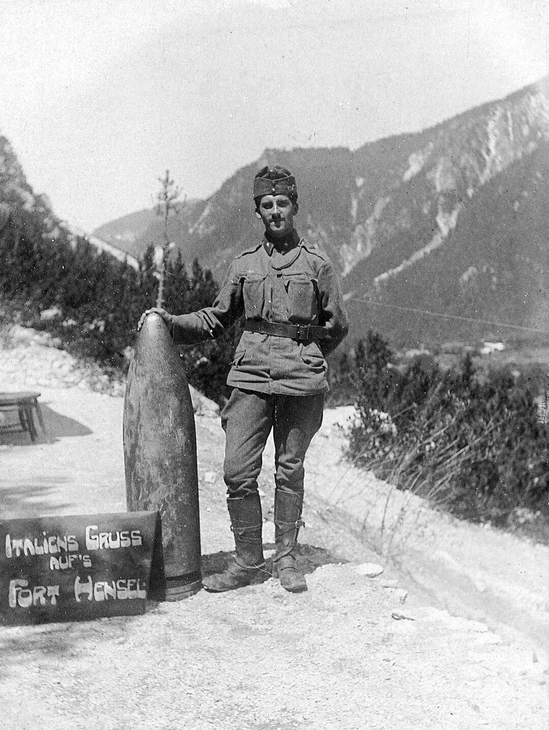
The name already says everything. Soldatenweg means soldiers' path in German, and soldiers really did walk this path more than a century ago, with military equipment on their shoulders and war all around them. Climbing this route today, through the pine and beech woods covering the slope above Malborghetto, means retracing those same steps in radically different conditions.
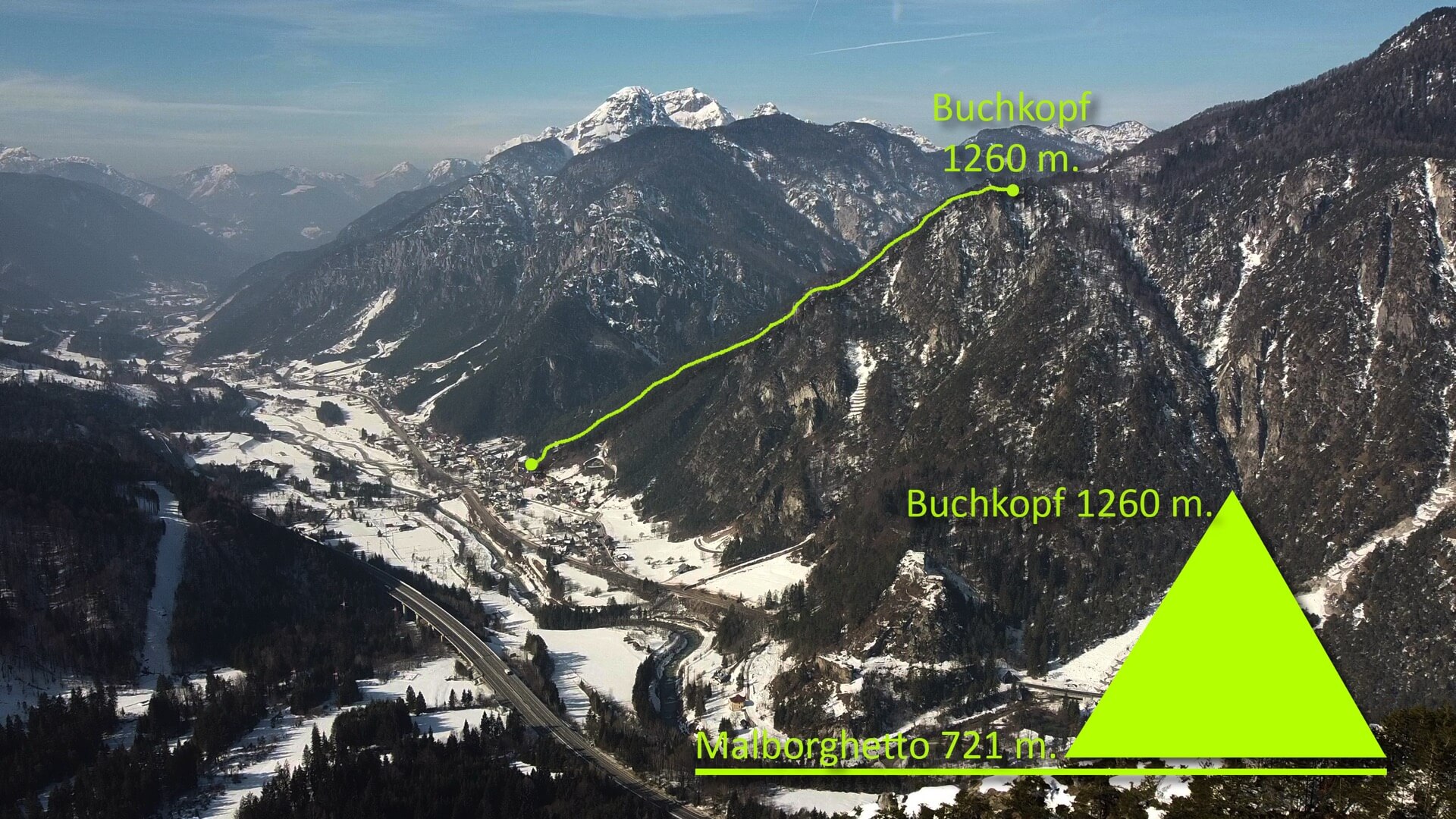
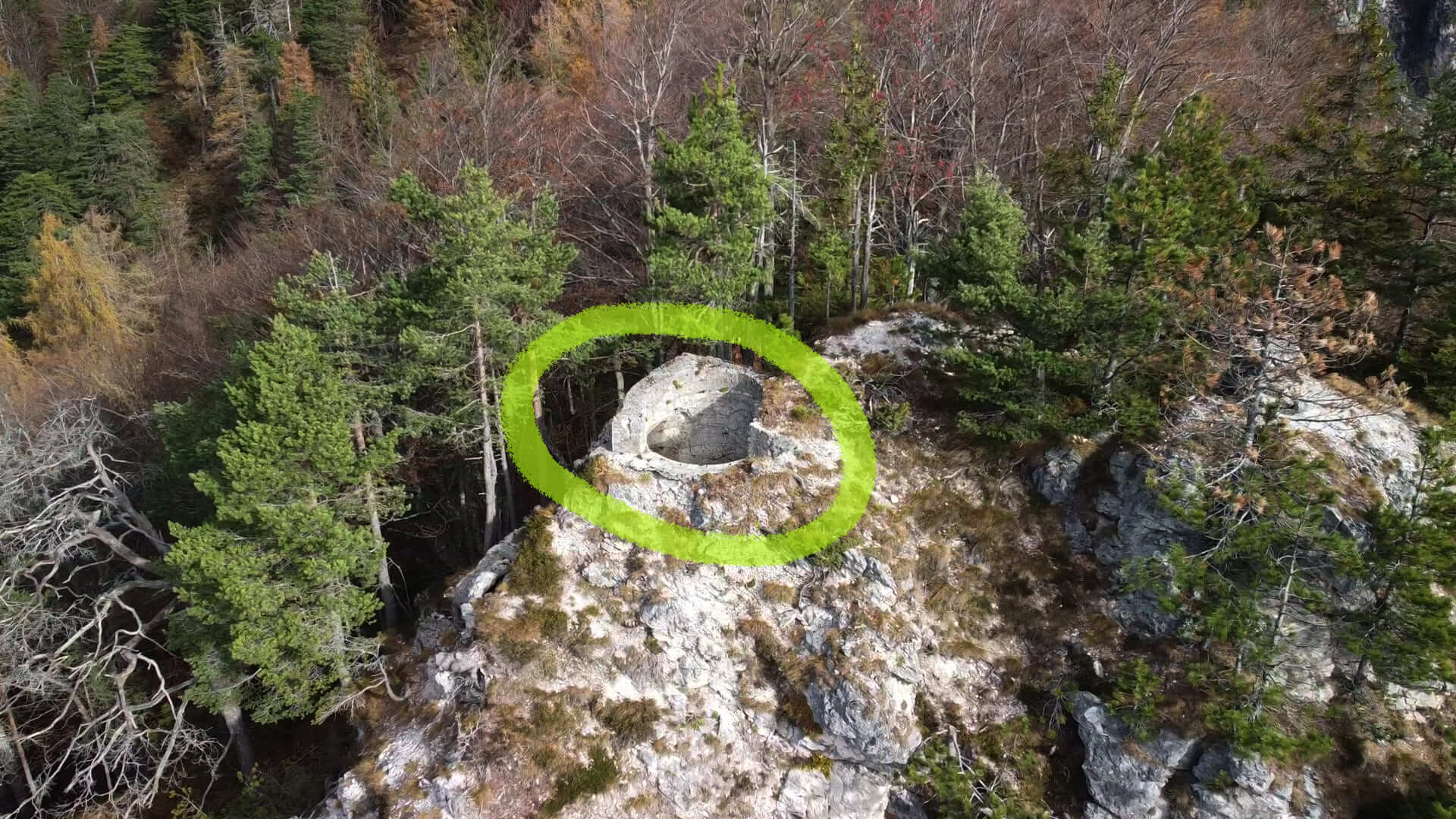
The route climbs steeply to about 1,300 metres, to the Testa di Malborghetto, where the remains of an Austro-Hungarian military observatory and an unforgettable view over Valcanale can be found. From here, descending towards Fort Hensel, it is possible to complete a loop of about five and a half kilometres, a route that ideally links two of the most significant places in the military history of this territory, connecting the ruins of the observatory with those of Fort Hensel, told in the other MACA route.
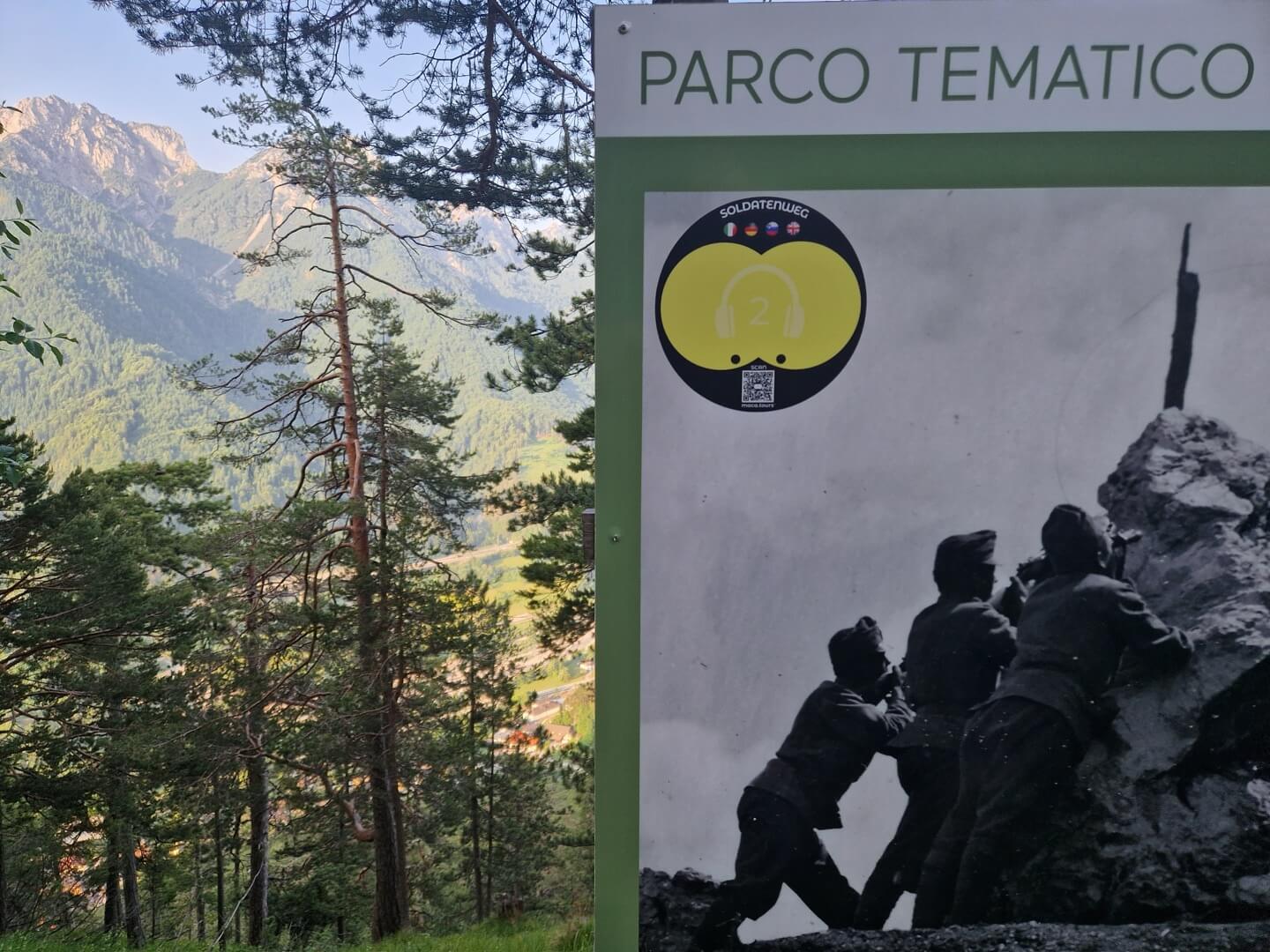
With the app, the ruins of the observatory gain context: the guided stops explain the strategic function of the Testa di Malborghetto during the First World War, the defensive system of Valcanale and the stories of those who lived in these places during wartime.
The route is classified as demanding because of the height difference and uneven terrain. Trekking shoes and poles are essential. In winter the path may be snowy and slippery; it is better to avoid it without winter mountain experience.
Download the MACA app and climb to the Testa di Malborghetto.
The route climbs steeply to about 1,300 metres, to the Testa di Malborghetto, where the remains of an Austro-Hungarian military observatory and an unforgettable view over Valcanale can be found. From here, descending towards Fort Hensel, it is possible to complete a loop of about five and a half kilometres, a route that ideally links two of the most significant places in the military history of this territory, connecting the ruins of the observatory with those of Fort Hensel, told in the other MACA route.
With the app, the ruins of the observatory gain context: the guided stops explain the strategic function of the Testa di Malborghetto during the First World War, the defensive system of Valcanale and the stories of those who lived in these places during wartime.
The route is classified as demanding because of the height difference and uneven terrain. Trekking shoes and poles are essential. In winter the path may be snowy and slippery; it is better to avoid it without winter mountain experience.
Download the MACA app and climb to the Testa di Malborghetto.